Description
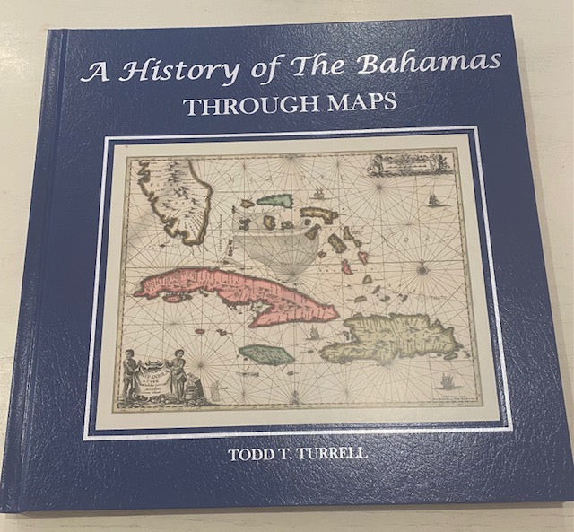
A History of The Bahamas Through Maps tells the fascinating story of The Bahamas using beautiful antique maps as the backdrop. Underwater and aerial photographs help describe the 20 major islands that make up the far reaching archipelago.
By : Todd T. Turrell
Measurement : 12 1/2″ L x 12″ W


Reviews
There are no reviews yet.